PointView® Integrations
Services
PointView® is built on open standards that allow integrations to the exact software your company uses. Digitization requires seamless, open connections between software packages.
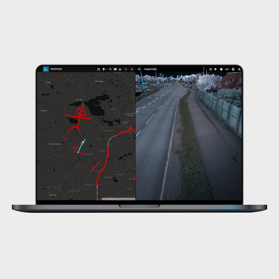
Intuitive user interface in PointView®
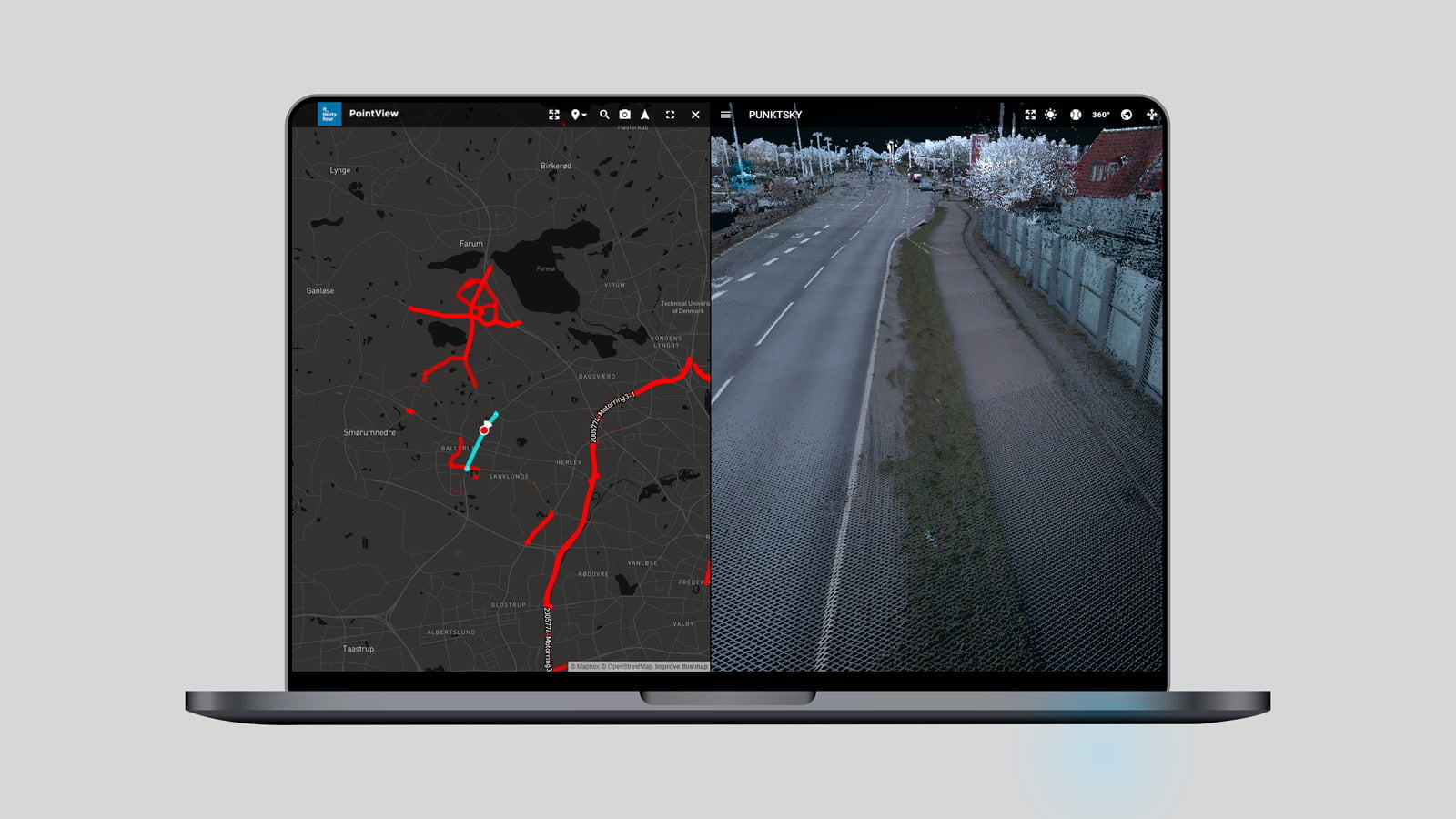
Experience the freedom of a user friendly, web based visual overview, which allows you to navigate via map, point cloud and 360 degree imagery.
Intuitive user interface in PointView®
Experience the freedom of a user friendly, web based visual overview, which allows you to navigate via map, point cloud and 360 degree imagery.
Let the digitization begin
The easy, user-friendly approach to data, the digital overview and the secure storage of data are our great advantages for our customers in PointView®, but often you need to perform specialized tasks as a starting point for further digitization. This work often takes place best in our users’ own software environments, for example in GIS or CAD environments. PointView® can be used to advantage to pull out a data set and use in just the professional piece of software you need, or you can use the faster and more basic tools for data management and digitization in PointView®. Our customers’ needs dictate which software they work in, but we have provided a strong integration capacity on our platform, which uses open APIs so that access to non-existent integrations can be developed now and in the future.
We are ready to develop your integration
We can make exactly the integration you need, for your specific task, via our skilled developers in IT34 who house all our development competencies within API integration to 3rd party software.
We have already developed integrations for Bentley Software, of which we are also an official Bentley Channel Partner in Denmark. Via Feature Extraction, one can identify, extract and transfer relevant objects to known applications such as MicroStation and continue you work with them.
We have already identified possibilities for integration to software packages from Revit, AutoCAD and for GIS platforms such as ESRI, QGIS.
The cornerstone of PointView® is the open access and opportunity for development, so we can always be contacted to create further integrations, where we can tailor to the individual customer’s needs.
User-friendly navigation in PointView®
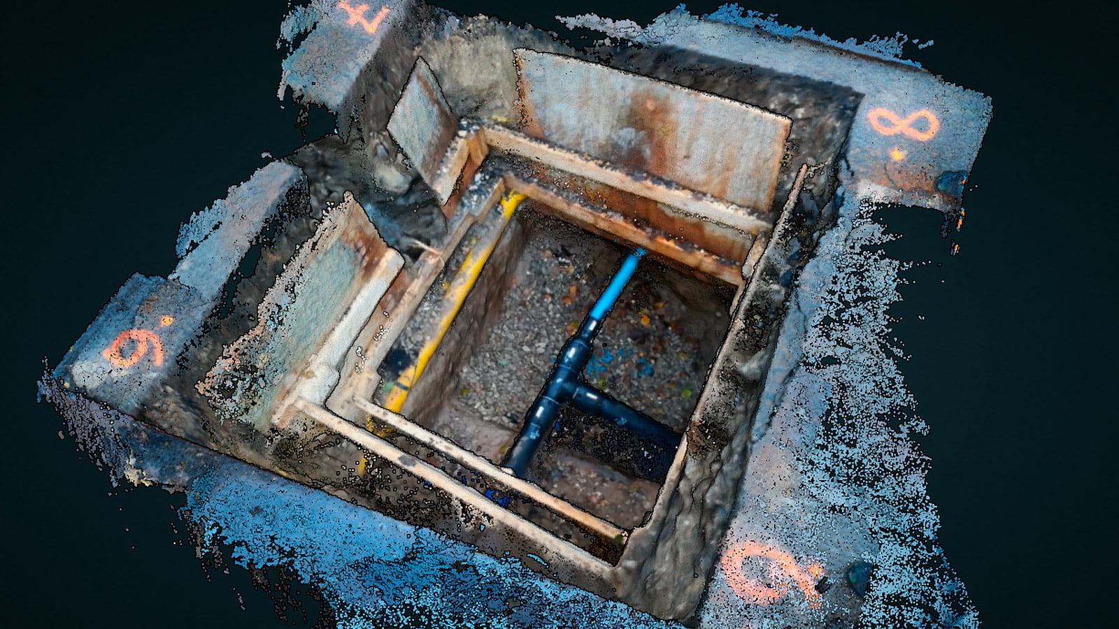
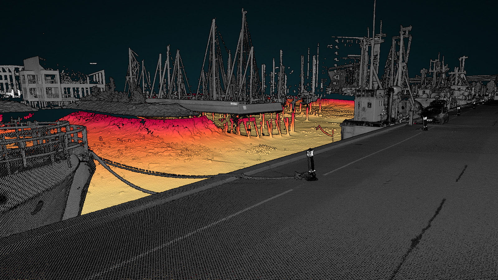
Access data above ground, below ground and below water in a user-friendly overview.
User-friendly navigation in PointView®
Access data above ground, below ground and below water in a user-friendly overview.
Get started today
GETTING STARTED IS EASY
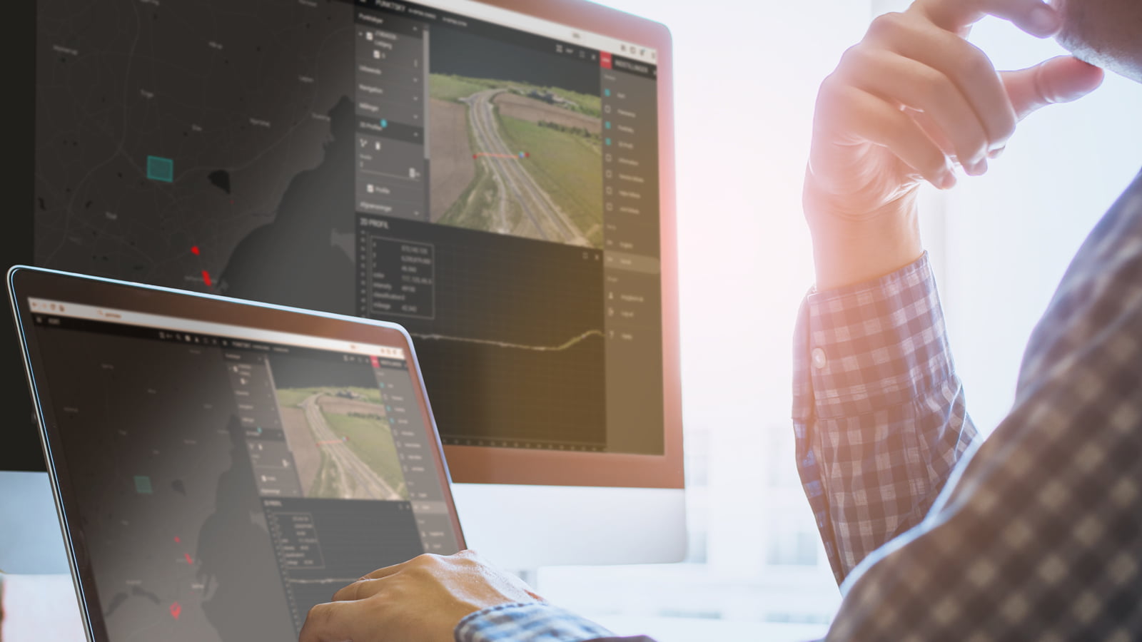
PointView® makes it easy to carry out all kinds of measuring, registration and documentation directly from your screen. Navigate seamlessly through 3D mapping data, overview maps, panoramic images and point clouds. It is user-friendly, intuitive and cost-effective.
Go to PointView® and create a user and you are ready to upload your data. You are also welcome to play with our demo data, accessible in PointView® directly from the map view.
Why choose an IT34 solution?
EVERYTHING IN ONE PLACE
We have united IT infrastructure, development and consulting in one place. This allows us to develop tailor-made software, advise on the best IT setup and provide ongoing support. Independently of each other or in an overall solution.
UNIQUE EXPERTISE IN GEODATA
Our professional set-up includes some of the world's leading experts in geographic data, register data and GIS data. We are with you from first idea to finished solution.
INNOVATION IS OUR DNA
Our developers are shaped by the Scandinavian approach to innovation, design and user experience. We believe in simple solutions to complex problems.